Track
Bilster Berg Drive Resort, Racing CircuitTraining Ground
Bad Driburg, North Rhine-Westphalia, Germany
Bilster Berg 1, 33014 Bad Driburg, Germany
Upcoming meetings
No upcoming meetings listed at this venue.
Circuit
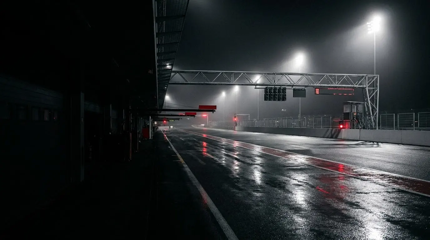
Bilster Berg is a modern private members' circuit set in wooded hill country north of the spa town of Bad Driburg, in the Höxter district of North Rhine-Westphalia, Germany. The land was once a British Army ammunition depot built in the early 1970s, returned to its original owner after the depot closed in 1993 and largely left idle until 2004, when Baron von der Borch and Marcus, Count of Oeynhausen-Sierstorpff, saw its potential as a racing venue while cycling the site. They recruited Hermann Tilke to design the track, with two-time World Rally champion Walter Röhrl contributing to the layout, giving the 4.274 km course the character of a mountain rally stage. Funded by private members and built after years of planning and environmental objections at a cost of around 27 million euros, the circuit opened on 11 April 2013 with a grand opening drawing 40,000 visitors. Often called a 'mini-Nürburgring', it packs 19 corners, around 200 metres of elevation change and gradients up to +21/-26% into a lap of blind crests, swooping curves and dramatic dips. Planning restrictions mean it is not equipped to host sanctioned races; instead it operates like an exclusive country club, granting shareholder members track access on roughly 80 days a year alongside exclusive weekends and weekday evening sessions. The venue is also popular with manufacturers for prototype testing and driver-aid calibration, and offers tours and ride-along experiences to non-members.
Operated by: Bilster Berg GmbH
A roller-coaster of extreme elevation change (50m), blind crests, and demanding corners cut through the Teutoburg Forest. Private development venue only — no public racing.